Filter our collections
Atlas Historique des Villes de France
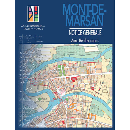
The Atlas historique des villes de France (Historical Atlas of French cities) collection was founded in 1973 by Philippe Wolff and Charles Higounet, through the initiative of the International Commission for the History of Towns (ICHT). It was directed by Jean-Bernard Marquette from 1982 to 2007; since 2003, it has been published by Ausonius. These atlases offer to trace, through cartographic reproductions with commentary, the creation of the space of a city, from its origins to the first half of the 19th century, by taking account of all available sources. The 1:2500 scale historical map, produced from the Napoleonic cadastres, comes with a general manual that supplies historical readings and, since 2009, a “sites and monuments” component. These atlases profoundly update our historical knowledge and the historical cartography of the urban landscape, providing a scientific tool supporting researchers, town planners, and those with a keen interest in history and heritage.
Directors: Sandrine Lavaud and Ezéchiel Jean-Courret
Atlas Historique des Villes de France 49
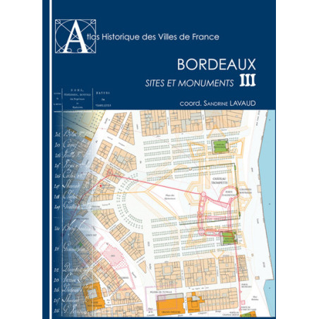
Bordeaux
Publication date :01/01/2009
Atlas Historique des Villes de France
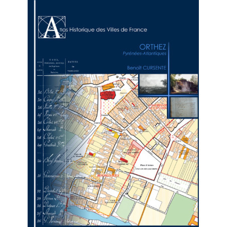
Orthez. Pyrénées-Atlantiques
Publication date :01/01/2007
Atlas Historique des Villes de France
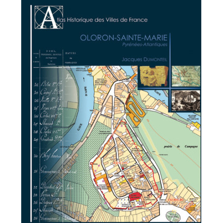
Oloron-Sainte-Marie. Pyrénées-Atlantiques
Publication date :01/01/2003


