Nemesis 1
Les agglomérations dans le monde celtique et ses marges
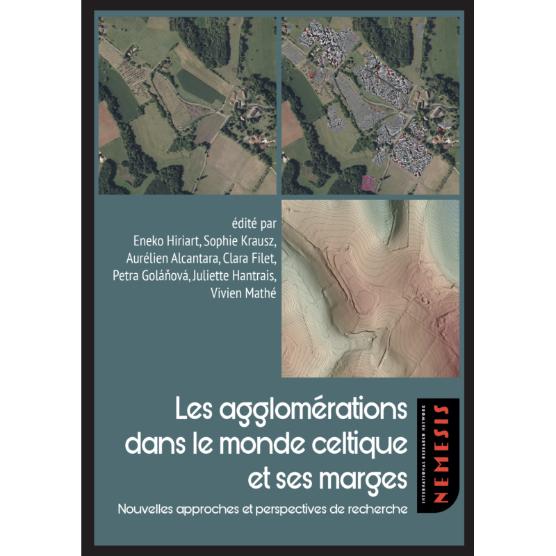
In temperate Europe, the first cities appear later than the Mediterranean world. They are developing in in different contexts in financial and political plans, according to their own dynamics. For a long time, we thought that the oppida, fortified accommodations on high ground, that emerged in the end of 2nd century BC, represented the first cities in the Celtic area (more precisely latenian). But the discoveries of the last 30 yeas show that they were preceded by the ancient urban forms. This is true of the vast unfortified settlements that emerged in the Celtic world in the 3rd and 2nd centuries BC, ignored for a long time due to modest archaeological traces they left behind. These agglomerations concentrated several important innovations: an extraordinary demographic increase; a large area of habitat (several tens of hectares) and the beginning of a rational organization of space (public squares, sanctuaries, special neighborhoods, etc.); large craft productions; intense commercial and financial activities marked by the first arrival of money in trade.
This book collects the Acts of the first workshop of IRN (International Research Network) NEMESIS that took place in Bordeaux (Musée d’Aquitaine) on 2nd and 3d December 2021. It gathers several contributions from European researchers working on agglomerations in the Celtic world and its margins, from the Atlantic to the Black Sea. The aim is to compare this phenomenon, apparently specific to the Celtic domain, with the contemporary situation in other regions of the studied area (Iberian Peninsula, Dacia, Eurasia, etc.).
These Acts are particularly interested in the strategies that allow to apprehend these agglomerations on large surfaces. The articles concern past, present and future experiences, preferably including integrated approaches: LIDAR, archaeological explorations (geophysical, pedestrian, aerial), GIS, cartography, archaeological excavations, network reconstruction, paleoenvironmental studies, etc. This work allows us to set the foundations for a common reflection on the strategies, protocols and best practices in order to toucha large site.
On the same subject


